Environment Canada has ended its winter storm warning for much of a southwestern Ontario event that stranded air travellers in Toronto and left major highways in the region a dangerous mess.
The winter storm warning continues in eastern Ontario, from Cobourg and Peterborough eastward to Cornwall. The Niagara region also continues under a warning, although that is expected to end in those areas later Friday night.
The city of Toronto sent its workers home early, a move that affected all community and civic centres.
However, daycares remained open until all children were picked up.
The city also announced an extreme cold weather alert to make it easier to free up shelter space for homeless people.
While the worst of the storm might be over for Canada's most populous region, commuting and air travel woes continued into the evening.
GO Transit has announced it wouldn't be offering express trains for the evening rush hour. GO buses are also facing delays -- up to two hours in some cases. People are asked to call 416-869-3200 for service updates.
Via Rail will have every available car on the tracks this afternoon for trains heading to Windsor, Ottawa and Montreal. However, trains were running 30 to 60 minutes late.
The roads at suppertime appeared to be light on traffic, which could be a function of institutions closing and businesses allowing workers to head home early.
Air woes
More than 300 flights out of Pearson, Canada's largest air hub, were cancelled. That represents about one-quarter of the average number of flights per day. However, many others were delayed. Part of the problems were weather-related problems at major U.S. airports in Chicago and New York.
The Greater Toronto Airports Authority website has crashed, presumably because of heavy user volume. As of suppertime, the website still wasn't functioning properly.
At least 100,000 travellers could pass through the airport Friday as people begin their Christmas break travels.
Air Canada issued an advisory to travellers flying out of Pearson Friday that they can re-book their flights without paying a penalty.
Airline spokesperson Peter Fitzpatrick told The Canadian Press that the airline added flights to accommodate the high volume during this time, and will aim to get delayed passengers to their destinations within 24 hours.
The storm
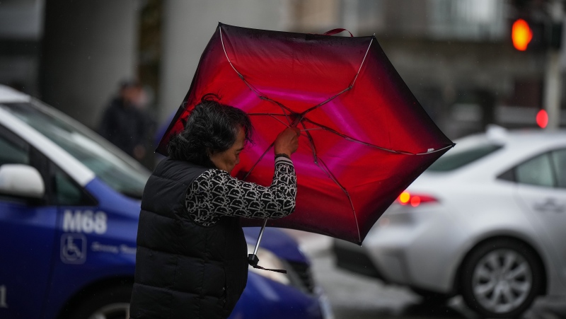
The storm began its march across southern Ontario Friday morning, as heavy snow driven by gusting winds hit Windsor in time for the morning commute. It will affect an area east to Kingston -- normally a seven-hour drive from Windsor.
Toronto received 12.6 centimetres by suppertime. Areas vulnerable to "lake effect" snow along Lake Ontario were predicted get more than 30 cm. Windsor had 15 cm as of 10 a.m.
The statement also warns of whiteout conditions across the region, as snow gets whipped up by winds that could gust up to 60 kilometres per hour.
The weather is expected to ease on Saturday. However, holiday travellers who were planning to get away over the weekend may also run into trouble, as a second storm system is expected to hit the region on Sunday.
That storm is expected to dump as much snow across southwestern Ontario as the current storm.
However, unlike Friday's storm, it will also hit the Ottawa region, Montreal and could cover the Maritimes with as much as 30 cm of snow on Monday.
CTV Toronto weather specialist Dave Devall noted that Toronto had 21.4 centimetres so far in December, with normal snowfall totalling only 29.2 cm.
"With more storms on the way, we could see up to 80 cm of snow on the ground by the end of the month," he said.
That would be comparable to the heavy snow that fell in February. Storms then left 76.8 cm on the ground.
With reports from CTV Toronto's Austin Delaney, John Musselman, Zuraidah Alman and Dave Devall and files from The Canadian Press


