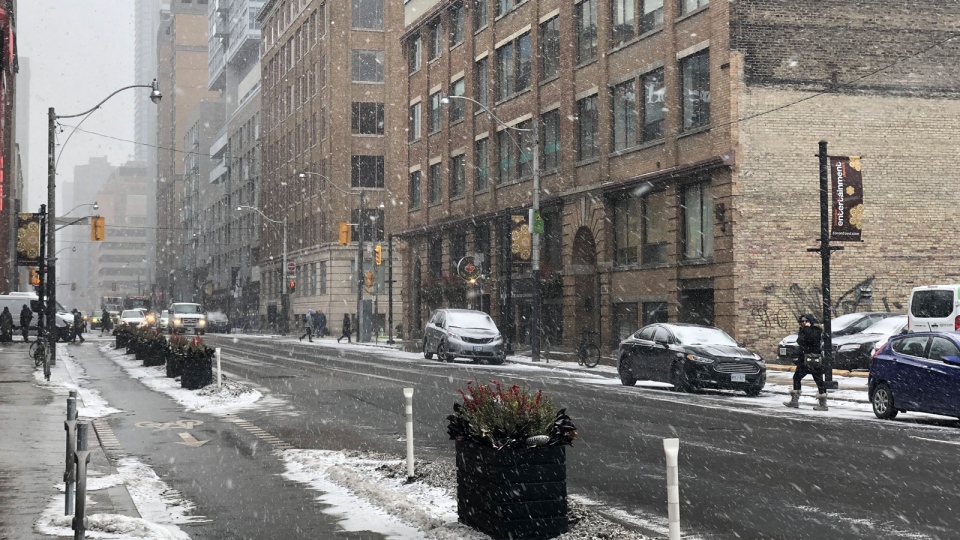
Toronto will settle into another stretch of bone-chilling winter weather this weekend.
Temperatures will steadily drop on Friday, reaching – 8 C in the afternoon with a – 18 wind chill.
Overnight, it will feel more like – 23, according to Environment Canada.
The cold snap has triggered an extreme cold weather alert for Toronto.
The city’s medical officer of health issued the alert shortly before 8 a.m. and it will remain in effect until further notice.
Toronto Public Health advises people to check on vulnerable family members, friends, and neighbours during the frigid conditions.
“Exposure to cold weather can be harmful to your health,” Dr. Eileen de Villa wrote in a news release.
“Those most at risk of cold-related illness are people experiencing homelessness or those under-housed, those who work outdoors, people with a pre-existing heart condition or respiratory illness, elderly people, infants and young children.”
As part of the alert, the city will open a “warming centre” at Metro Hall by 7 p.m. It will remain open until noon on the day the weather alert is cancelled. Additionally, transit tokens will be made available at some of the city’s drop-in centres and overnight street outreach workers will ramp up their efforts.
There are also multiple 24-hour respite sites open throughout the year where people can sleep, get meals, and receive referrals to other services offered in Toronto.
Environment Canada also issued a winter weather travel advisory for parts of the GTA warning motorists of possible “reduced visibilities” due to brief periods of snow and blowing snow until the mid-afternoon hours on Friday.
The advisory covers Pickering, Oshawa, southern Durham Region, Vaughan, Richmond Hill and Markham.
The alert was cancelled for Toronto, Mississauga and Brampton shortly before 3:30 p.m.
“Motorists are advised to exercise caution as visibilities may suddenly be reduced,” the advisory said.
According CTV News Toronto’s Anwar Knight, Friday’s cold snap is only just the beginning.
“If you think it’s cold now… Wait until next week. We will end the month with likely the coldest air of the season,” he said,
“Starting next Wednesday, we will be using the dreaded term ‘Polar Vortex’ again. It will plunge south and spread frigid arctic air across much of the Great Lakes basin. It will also likely set up a very active lake effect snow event in traditional snow belt areas.”
The cold blast will likely last about six days, he said.
On Saturday, Environment Canada is calling for a high of – 9 C, feeling more like – 23 in the morning and – 16 in the afternoon.
Snow will usher in Sunday and Monday with a high of – 8 C and – 9 C, respectively.


