'Thundersnow' hit Toronto as city pummelled by major winter storm, up to 35 cm of snow
Snow fell as thunder and lightning struck Toronto in a major winter snowstorm pummelling much of southern Ontario Friday evening.
Toronto was struck for what could be its biggest snowfall of the season with up to 35 cm of snow forecasted.
Senior climatologist for Environment Canada Dave Phillips told CP24 Friday that Torontonians can expect about five to eight centimetres of snow an hour in peak hours, along with blowing winds of up to 70 km/h. In total, Toronto should receive about 16 hours of snowfall.
Clearing operations are expected to be required into next week, the city said Friday evening.
CTV News Toronto will provide live updates on the Toronto and southern Ontario storm below:
11 p.m. - CP24 meteorologist Chris Potter says between 7 p.m. when the storm arrived in Toronto, and 10 p.m., the downtown core received 11 cm of snow. At Toronto Pearson, 10 cm of snow has fallen so far.
And it's not over yet. Potter says snow will continue to fall until 6 a.m. on Saturday. He adds it will be heavy at times, especially during the first half of the overnight.
"Obviously, this will be the most significant snowfall that we've had all winter and probably in the past couple of winters," Potter said.
By mid-morning Saturday, any residual light snow or flurries will be clearing rapidly, and winds will gradually become much lighter, he says.
Later in the day, Toronto will see a lot of sunshine. The high for Saturday is 4 C.
10:44 p.m. – Toronto Hydro says it is experiencing scattered outages during the winter storm, including in Etobicoke, where approximately 530 customers are without power.
“Crews are responding to multiple safety emergencies, such as downed power lines,” Toronto Hydro said.
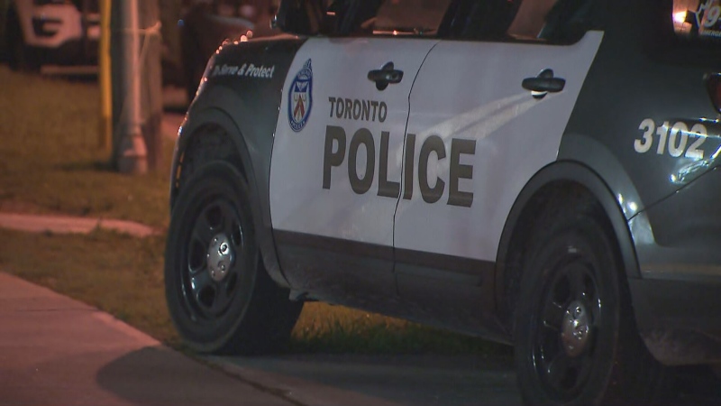
9:30 p.m. - Toronto police are warning drivers that some traffic indicators, including lights and stop signs have been coated in snow.
8:40 p.m. - Lightning and 'thundersnow' are being reported as the storm hits Toronto.
CP24 meteorologist Chris Potter said thundersnow, which is simply snow accompanied by thunder and lightning, is not completely uncommon.
“Obviously, it doesn't happen frequently with each and every storm," Potter said. "There have to be certain mechanisms at play. One of them is significant lift [and] significant convection."
Toronto police are also warning that expressways are "track bare and side streets are like ice."
8:15 p.m. - Deputy Mayor Jennifer McKelvie took to social media to ask Toronto residents to practice “patience as crews work to clear the snow from our roads, expressways, bike lanes and sidewalks.”
7:45 p.m. - Toronto police’s traffic unit is warning residents of rapidly increasing snow accumulation and that high winds could blow salt off roads. The service said it's starting to receive calls for collisions in the city and is warning drivers to stay off the roads.
6:50 p.m. - Blowing snow has started falling in Toronto.
"It’s extremely hard to see out on city streets," CTV News Toronto's weather specialist Jessica Smith writes on Twitter. "Please be careful walking/crossing the street."
6 p.m. - The city issued a storm update stating that up to 35 cm of snow is now predicted.
Currently, the warming centre at Metro Hall is open and at 7 p.m., the city will open its three additional warming centres. They are located at:
- Scarborough Civic Centre, 150 Borough Dr.
- Mitchell Field Community Centre, 89 Church Ave.
- Cecil Community Centre, 58 Cecil St.
According to the release, salting will begin as soon as the snow starts to accumulate, and plowing will be activated when the snow reaches 2.5 cm on expressways, five centimetres on major roads, transit routes, and streets with hills, and eight centimetres on residential streets. Sidewalk and separated bike lane clearing will begin when the snow reaches two centimetres.
All city-operated community recreation centres will be closed tomorrow, and all programming will be cancelled. Outdoor rinks will be open once the snow is cleared.
Clearing operations are expected into next week, the update said.
5 p.m. - The snow has begun falling in southern Ontario. Environment Canada tweeted a video showing deteriorating visibility over the Detroit River in Windsor, Ont.
5 p.m. - In an interview with CP24, Ontario provincial police spokesperson Kerry Schmidt advised Greater Toronto Area (GTA) residents to avoid travel, unless necessary, and give plows ample time to clear streets before venturing out.
“If you're trying to get home before the storm hits, best you leave now, and once you do get home, stay home,” Schmidt said.
“If you can do anything to help, [it] would be staying off the roads until the system has passed, until the plows have cleared the highways until the salt has been put down and [until] the roads are safe for travel.”
4:25 p.m. - Hakeem Muhammad from city transportation services told CP24 that crews have applied liquid salt brine to Toronto expressways on critical locations to prevent the ice from bonding to the pavements. He also said the city has situated equipment and staff at strategic locations so they can respond in a timely fashion.
2:45 p.m. - The TTC cancelled a previously planned weekend subway closure and added extra bus service to key routes across the city to prepare for the severe conditions.
Regular service weekend service will run on Line 1 and approximately 50 additional buses will be put into service, the commission said.
"This will ensure a good level of service is maintained during the storm and its aftermath," a release issued Friday said. "Torontonians needing to travel during the storm are encouraged to use transit to reach their destination safely and reliably."
2 p.m. - Toronto Metropolitan University announced it would close campuses as of 4 p.m. Friday.
1:45 p.m. - WestJet announced the proactive closure of all flights in and out of Toronto Pearson Airport as of 8 p.m. Friday evening until Saturday morning, pending conditions.
To travellers flying through Toronto with Air Canada, the airline has offered flexing rebooking options, as cancellations and delays are possible, it says.
1:30 p.m. - York University announced it will close its campus to in-person activities at 5:30 p.m. Friday. Virtual activities and services will continue.
12:50 p.m. - Senior climatologist for Environment Canada Dave Phillips told CP24 that Toronto could see its biggest storm of the year Friday evening, with up to 30 cm of snowfall forecast.
“If you take this snow we're going to get today and add it to what we've had the last 10 days, that's half a winter's worth of snow in 10 days,” Phillips said.
The snowfall is going to be heavy and wet, making it hard to push, plow, or shovel, the climatologist said.
“We're going to see a good old fashioned prairie blizzard here because when the snow starts falling about 6 p.m., it's going to be heavy – no easing into it – heavy right from the beginning,” he said.
CTVNews.ca Top Stories

Fall sitting bookended by Liberal byelection losses ends with Trudeau government in tumult
The House of Commons adjourned on Tuesday, bringing an end to an unstable fall sitting that has been bookended by Liberal byelection losses. The conclusion of the fall sitting comes as Prime Minister Justin Trudeau's minority government is in turmoil.
2 B.C. police officers charged with sexual assault
Two officers with a Vancouver Island police department have been charged with the sexual assault of a "vulnerable" woman, authorities announced Tuesday.
Canadian government announces new border security plan amid Donald Trump tariff threats
The federal government has laid out a five-pillared approach to boosting border security, though it doesn't include specifics about where and how the $1.3-billion funding package earmarked in the fall economic statement will be allocated.
B.C. teacher disciplined for refusing to let student use bathroom
A teacher who refused to let a student use the bathroom in a B.C. school has been disciplined by the province's professional regulator.
Most Canadians have heard about Freeland's resignation from Trudeau cabinet, new poll finds
The majority of Canadians heard about Chrystia Freeland's surprise resignation from Prime Minister Justin Trudeau's cabinet, according to a new poll from Abacus Data released Tuesday.
Police chief says motive for Wisconsin school shooting was a 'combination of factors'
Investigators on Tuesday are focused on trying to determine a motive in a Wisconsin school shooting that left a teacher and a student dead and two other children in critical condition.
After investigating Jan. 6, House GOP sides with Trump and goes after Liz Cheney
Wrapping up their own investigation on the Jan. 6 2021 Capitol attack, House Republicans have concluded it's former GOP Rep. Liz Cheney who should be prosecuted for probing what happened when then-President Donald Trump sent his mob of supporters as Congress was certifying the 2020 election.
Wine may be good for the heart, new study says, but experts aren’t convinced
Drinking a small amount of wine each day may protect the heart, according to a new study of Spanish people following the plant-based Mediterranean diet, which typically includes drinking a small glass of wine with dinner.
The Canada Post strike is over, but it will take time to get back to normal, says spokesperson
Canada Post workers are back on the job after a gruelling four-week strike that halted deliveries across the country, but it could take time before operations are back to normal.


