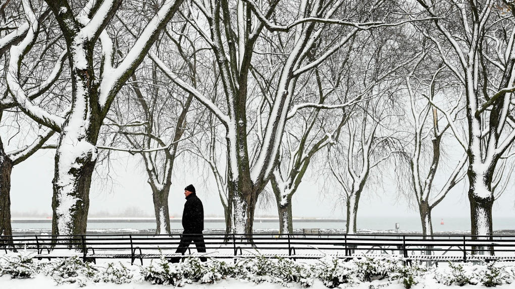
TORONTO -- It will be a snowy start to the week for students in Toronto, Peel and York who will be returning to in-class learning on Tuesday as the Greater Toronto Area is expected to see up to 25 centimetres of snow.
Environment Canada issued a snowfall warning for Toronto and the rest of the GTA on Sunday ahead of two rounds of precipitations that will hit the region on Monday and Tuesday.
The first weather system will arrive overnight or early Monday morning, dumping five centimetres of snow by the afternoon. Areas near Lake Erie could see up to 10 centimetres of accumulation.
"The precipitation may diminish during the afternoon, but another round of even heavier snow is expected to move in Monday evening and persist until Tuesday morning," Environment Canada said.
The region could see an additional 10 to 20 centimetres of snow.
Environment Canada is urging motorists to be prepared for changing and deteriorating travel conditions.
Meanwhile, Hamilton and Niagara are under a winter storm warning and will likely see up to 30 centimetres of snow.
MELTING TEMPERATURES ON THE WAY
While frigid temperatures are expected to continue this week, more seasonal temperatures are on their way.
On Monday, the high for Toronto will be -6 C with a wind chill near -15. It will be colder on Tuesday, with the temperature only reaching a high of -8 C.
According to the weather agency, the temperature high for the rest of the week will hover near the freezing mark.
Speaking to CP24 on Sunday, Environment Canada senior climatologist Dave Phillips said to expect melting temperatures and more sunshine in the coming days.
Although it felt colder than usual in the past weeks, Phillips said it hasn't been record-breaking, adding that it is normal in February to have temperatures about three degrees colder than average.
"It just feels so cold because it's been a long bout of it and because we had such balmy conditions in the three previous months," he said.
Phillips noted that temperatures in the last three years were colder than this year.
"It's not been the severity of the cold, but it's been the duration of the cold," he said.
"I'm guessing maybe a week from tomorrow we might actually see the thermometer getting above where we see actually some melting."


