Climate change causing more frequent warm winter temperatures in Ontario: extreme weather expert
Climate change is causing mild winter temperatures to become more frequent across the country, one extreme weather expert says.
Parts of southern Ontario have seen unseasonably warm temperatures and rainfall warnings in recent days, with some local conservation authorities warning the public to stay away from waterways as water levels are expected to rise due to rain and melting snow.
- Download our app to get local alerts on your device
- Get the latest local updates right to your inbox
While it's hard to attribute individual weather events to climate change, Blair Feltmate, head of the Intact Centre on Climate Adaptation at the University of Waterloo, says destabilization of the polar vortex caused by global warming is contributing to atypical extreme temperatures compared to what's been seen in the past.
"That's what we're seeing in the weather ... not every extreme temperature event can be directly linked to climate change, but it certainly is consistent with the prediction of climate change," says Feltmate.
"What we're going to see is changes in the frequency of extreme expressions of extreme temperatures -- hot or cold."
Feltmate says cold air from the north is migrating further south as a direct function of global warming, bringing wet conditions to regions that don't usually experience that level of cold.
On the flip side, warm air from the south can in turn travel further north, which could mean more extreme precipitation events at times of the year when they're not expected, which may result in worsening flood conditions, he says.
"That precipitation can come down in the form of snow that's just below freezing temperature or in the form of major rain events," says Feltmate.
"This is causing flooding to be more problematic for Canada as a whole, and the No. 1 expression of climate change in Canada is flooding, particularly residential basement flooding, flooding in municipalities including individual homes."
Feltmate says the increased frequency of and threatened risks due to residential flooding has led to 10 per cent of the housing market no longer being insurable for basement flooding.
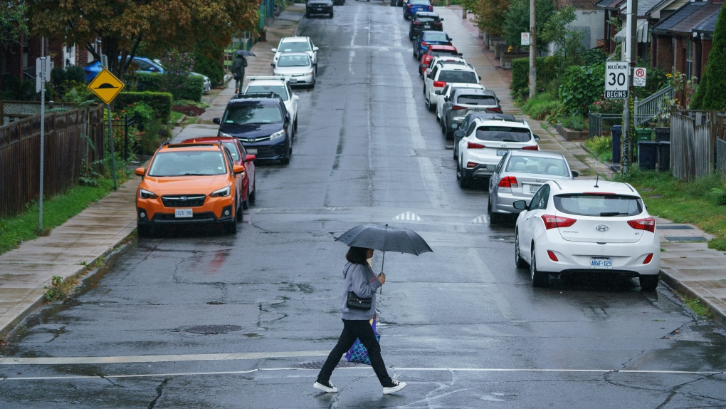
 A person carries an umbrella during a downpour of rain in Toronto on Tuesday, Sept. 27, 2022. THE CANADIAN PRESS/Alex Lupul
Doug Gillham, a meteorologist with The Weather Network, says most of the country is now seeing an extended winter break and warmer-than-normal temperatures after seeing a front-loaded winter in December.
"We're used to January thaws, but this January has become more than just a thaw," he says.
"It's really quite a break from the winter pattern that's going to last much longer than normal and be so widespread."
However, Gillham says colder-than-normal winter temperatures are expected to return in late January or early February.
Meanwhile, Environment Canada issued a mix of rainfall and freezing rain warnings Wednesday for a number of regions in southern Ontario.
The weather agency said regions under freezing rain warnings like Cornwall and Belleville could see snow mixed with ice pellets continue until Thursday morning, while regions like Niagara and Simcoe were expected to see another round of rainfall last until Wednesday evening.
This report by The Canadian Press was first published Jan. 4, 2023.
CTVNews.ca Top Stories

Fall sitting bookended by Liberal byelection losses ends with Trudeau government in tumult
The House of Commons adjourned on Tuesday, bringing an end to an unstable fall sitting that has been bookended by Liberal byelection losses. The conclusion of the fall sitting comes as Prime Minister Justin Trudeau's minority government is in turmoil.
2 B.C. police officers charged with sexual assault
Two officers with a Vancouver Island police department have been charged with the sexual assault of a "vulnerable" woman, authorities announced Tuesday.
Canadian government announces new border security plan amid Donald Trump tariff threats
The federal government has laid out a five-pillared approach to boosting border security, though it doesn't include specifics about where and how the $1.3-billion funding package earmarked in the fall economic statement will be allocated.
B.C. teacher disciplined for refusing to let student use bathroom
A teacher who refused to let a student use the bathroom in a B.C. school has been disciplined by the province's professional regulator.
Most Canadians have heard about Freeland's resignation from Trudeau cabinet, new poll finds
The majority of Canadians heard about Chrystia Freeland's surprise resignation from Prime Minister Justin Trudeau's cabinet, according to a new poll from Abacus Data released Tuesday.
Police chief says motive for Wisconsin school shooting was a 'combination of factors'
Investigators on Tuesday are focused on trying to determine a motive in a Wisconsin school shooting that left a teacher and a student dead and two other children in critical condition.
After investigating Jan. 6, House GOP sides with Trump and goes after Liz Cheney
Wrapping up their own investigation on the Jan. 6 2021 Capitol attack, House Republicans have concluded it's former GOP Rep. Liz Cheney who should be prosecuted for probing what happened when then-President Donald Trump sent his mob of supporters as Congress was certifying the 2020 election.
Wine may be good for the heart, new study says, but experts aren’t convinced
Drinking a small amount of wine each day may protect the heart, according to a new study of Spanish people following the plant-based Mediterranean diet, which typically includes drinking a small glass of wine with dinner.
The Canada Post strike is over, but it will take time to get back to normal, says spokesperson
Canada Post workers are back on the job after a gruelling four-week strike that halted deliveries across the country, but it could take time before operations are back to normal.


