Toronto and parts of southern Ontario should brace for a mixed bag of unusual April weather as an icy weather system makes its way into the region.
Environment Canada is warning that periods of raining starting Friday could change into freezing rain by Saturday morning as colder air moves in. The "slow moving system" will reach much of southern Ontario, including Caledon, Mississauga, Brampton, Durham and York regions, Halton Hills and Milton.
As the temperature is expected to drop to about – 2 C by Saturday afternoon, the freezing rain will likely become heavier.
“The freezing rain may persist for a few hours before changing to ice pellets,” the agency wrote in special weather statement on Friday. “Several centimetres of ice pellets are likely during the day.”
Weather analysts predict the region will see a “lull” in rainfall for most of Saturday evening but the messy weather picks up again by early Sunday morning.
“There remains considerable uncertainty with regards to how long the freezing rain will last before changing over to rain on Sunday,” it reads. “However, the potential exists for some locales to see amounts in access of 20 millimetres of freezing rain on Sunday.”
Peter Kimbell, a meteorologist with Environment Canada, says the GTA can expect the worst and most unpredictable part of the storm on Sunday.
Kimbell says places southwest of the GTA, like Brantford and Hamilton, could see as much as 40 millimetres of freezing rain over the two-day period.
“It is going to be a nasty weekend in much of southern Ontario, there’s just not much way of escaping it,” he told CTV News Toronto. “Ice pellets will probably be the predominant precipitation type tomorrow and then a break tomorrow evening, but then it’s back to freezing rain Sunday early and not changing back to rain until late on Sunday.”
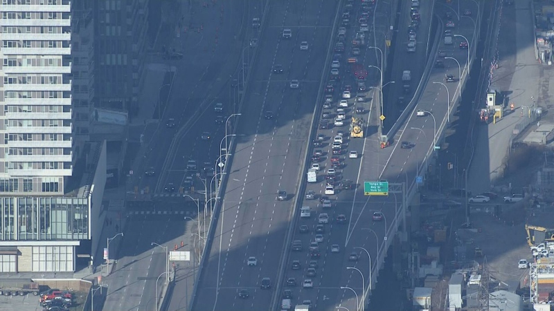
Ice will likely accumulate and glaze roadways, creating tricky winter driving conditions if untreated. Wind gusts of up to 60 km/h are also possible and have the capacity to down tree limbs and cause power outages.
Tori Gass of Toronto Hydro says crews are “on standby” if the weather is strong enough to knock out power.
“The danger with ice and freezing rain is that it’s very heavy, it sticks to our wires, it sticks to tree branches, which brings down our wires,” she said. “That’s the biggest issue and that can cause some significant power outages.”
Gass said they’ve added staff both on the ground and within the Toronto Hydro control rooms for the weekend.
“We’re hoping for the best but we’re preparing for the worst,” she said.
By Sunday evening, as the temperature rises to about 2 C, flooding could “become a threat” to some areas.
Bill Shea of Toronto Water advised residents to check on their eaves troughs before the storm hits.
“The good news is that the snow is gone, so we don’t have a lot of that melt water and, in all likelihood, you won’t have the snow built up in your eaves troughs and around your house – that’s a great thing,” he said. “What you do want to do is make sure your eaves troughs are clear, that the water is flowing away from your home, preferably onto porous surfaces, so that water is sinking into the ground and not around your neighbours or flooding the sewer.”
Though the system is expected to taper off by Monday, the agency is still calling for a 70 per cent chance of showers in Toronto on Monday with a high of 5 C.


