
TORONTO -- The warm weather on Sunday and Monday did not last long.
Environment Canada has issued a special weather statement for Wednesday in Toronto and most of southern Ontario in advance of significant snowfall and freezing rain, which started early Tuesday morning.
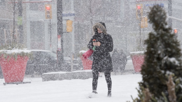
Light wet snow began in the early morning on Tuesday but the temperature remained mild at 0 C. More active weather and cooler temperatures are in store for later in the week.
“Snow is expected to begin near midnight before becoming heavy Wednesday afternoon,” the weather agency said. “Heavy snow will continue through Wednesday evening before tapering to flurries overnight.”
“There remains much uncertainty regarding the track of this low, but total snowfall amounts of 10 to 20 cm are possible by Thursday morning.”
Ahead of the storm, Torontonians felt a high of 7 C on Sunday and 6 C on Monday.
The temperature dropped on Tuesday morning, with a high of 2 C and a low of -2 C expected.
A high of 0 C is expected for Wednesday in Toronto and -3 C on Thursday.
There is a 70 per cent chance of flurries on Thursday, with local blowing snow expected.


