When will the snow hit? Southern Ontario's next storm is on the way
Southern Ontario is about to get hit with another winter storm, just two weeks after a historic blizzard Toronto is still digging out from.
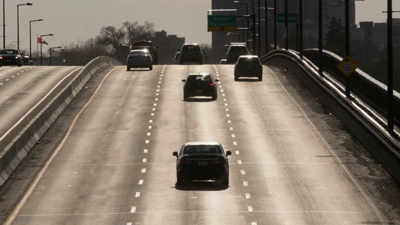
Environment Canada has issued a winter weather travel advisory for Toronto ahead of a system that is expected to dump 10 to 20 centimetres of snow on the city by Thursday morning.
The weather agency says that rain showers will transition to snow later this afternoon with the snowfall continuing through the overnight hours and into Thursday morning.
It is warning drivers to expect "hazardous conditions" on both Wednesday and Thursday.
Meanwhile, the TTC has said the service will be suspended on the Scarborough RT throughout the day on Wednesday due to the inclement weather, with shuttle buses running between Kennedy and McCowan stations.
The city is also pausing snow removal efforts that have been ongoing since the Jan. 17 storm to ensure that resources can be focused on clearing roads and sidewalks.
It has said that 600 snow plows, 200 salt tracks and 350 sidewalk plows will be available.
“What we have done is move all the plows and trucks and so on into positions around the city so they are actually positioned to begin plowing once it starts to snow. In the meantime they are starting with the brining and salting operations as soon as the rain starts to freeze so we will be as prepared as possible,” Mayor John Tory told CP24 on Wednesday morning. “They will be plowing later on today and overnight very aggressively and once the plowing is done they will return to the snow removal operation.”
Crews have hauled away nearly 100,000 tonnes of snow over last two weeks
The storm two weeks ago dumped 55 centimetres of snow on some parts of Toronto, which is more snow than the city typically receives during the entire month of January.
Since then crews have hauled away over 92,000 tonnes of snow to five dumping sites but that work remains ongoing and will likely be complicated by the latest snowfall.
“The good news is that this is not going to be as intense a storm as the record snowstorm we witnessed on January 17. This time the snow is falling over a longer period of time, which will allow us to salt and plow the roads effectively but it's still a lot of snow,” General Manager of Transportation Services Barbara Gray said during a briefing on Tuesday. “I know the last thing people want to see right now is more snow and that certainly includes myself and all of our crew members who have been working non-stop for the past two weeks but let me assure you that it's an all hands on deck ahead of the storm. We will be plowing as hard and fast as we can to ensure our roads are safe and pass and passable for the morning.”
Gray said that the snow removal which has taken place to date has put the city in a “much better position” ahead of this storm than it would have been otherwise.
However, she said that there remains a significant amount of snow on some local roads and that it is likely that some curb lanes will be impacted by plowing operations.
“We are encouraging all residents who are able to do so to move vehicles that are parked on snow routes now if you can can to allow salters and plows to move more quickly through their operations,” she said.
While most of the GTA is only covered by a winter weather travel advisory at this point, Environment Canada has upgraded that to a winter storm warning for the City of Hamilton, where it says 20 to 30 centimetres of snow could fall by Thursday night.
CTVNews.ca Top Stories

WATCH LIVE Canadian government to make border security announcement today: sources
The federal government is set to make an announcement on new border security measures after question period today.
Fall sitting bookended by Liberal byelection losses, ending in tumult for Trudeau government
The House of Commons is slated to adjourn on Tuesday, bringing an end to an unstable fall sitting that has been bookended by Liberal byelection losses. The conclusion of the fall sitting comes as Prime Minister Justin Trudeau's minority government is in turmoil.
Prosecutors charge suspect with killing UnitedHealthcare CEO as an act of terrorism
The man accused of killing UnitedHealthcare's CEO has been charged with murder as an act of terrorism, prosecutors said Tuesday as they worked to bring him to a New York court from from a Pennsylvania jail.
W5 Investigates How a convicted con artist may have exploited Airbnb's ID checks in rental scams
In part two of a W5 investigation into landlord scams, correspondent Jon Woodward looks at how hosts on Airbnb may be kept in the dark about their guests' true identities – a situation that a prolific Canadian con artist appears to have taken advantage of.
Alcohol is not good for us. 5 tips to stay safe(r) if you drink
The holidays and New Year’s Eve are fast approaching, and for many, that means alcohol-infused festivities and gatherings to navigate.
The world's busiest flight routes for 2024 revealed
If you think planes have got fuller and the skies busier over the past year, you’d be right — especially if you live in either Hong Kong or Taipei.
Sex-ed group deemed 'inappropriate' by Tory government returns to N.B. schools
A sexual-education group whose presentations were deemed "clearly inappropriate" by the previous New Brunswick Progressive Conservative government has been cleared to return to the province's schools.
Suspect in Gilgo Beach serial killings is charged in the death of a seventh woman
The New York architect facing murder charges in a string of deaths known as the Gilgo Beach killings was charged on Tuesday in the death of a seventh woman.
Number of family doctors in Canada now growing at a slower pace: report
Canada is facing a growing crisis in its health-care system as the rate at which family doctors are growing has slowed, according to a recent report.


