Happy New Year! I'm not sure what the cut off is for that greeting - I'm under the impression that you can get away with it, at least, until the end of the month. Anyway, I hope you had a great holiday, despite it being a "green" one.
The truth of the matter is, for some of us weather weenies, this past winter has not only been wacky and challenging to forecast, but has also caused quite a bit of concern. Oh sure, we can routinely jest about how great it would be to just get some Yuletide snow, then let it melt away quickly until spring, but the reality is, we haven't seen much snow and many areas desperately need it.
In the last 10 days, over 1,100 temperature records were broken in the U.S. - yes 1,100.
A strong southerly flow from our American friends has also helped us smash records all across the prairies. In fact, just last week, Winnipeg had a daytime high of 7 degrees. That is a full 20 degrees above the norm - "not" a good thing for a city that has become affectionately known as "Winterpeg." Over the last 5 weeks Edmonton has seen only one day with a seasonal temperature - one measly day of -8, the rest were all above seasonal. Here in Toronto, we have only seen a fraction of our regular snowfall so far this season. Is our Canuck Cold clout melting away? If this continues will we have to surrender our status as the "Great White North"? Not quite yet -thankfully, but more on that in a moment.
Well beyond the ton of tourist dollars that Ontario's ski country used to be able to shovel up to the bank each winter, the cold season is much more than skis and skating. Canada needs winter - Canada needs snow.
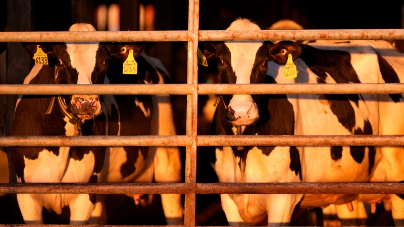
The many hard-working Canadian farmers rely on snow, not just for moisture, but as a fertilizer. Old man winter's white blanket captures nitrogen then releases it during the spring thaw. The phenomenon is sometimes referred to as "poor man's fertilizer." Snow also acts as a blanket - insulating many plants from the extreme temperature swings - "and" the consistent cover kills off many nuisance pests - think a summer evening on the back deck, minus the mosquito bites!
So what is going on? Well, first of all, La Nina remains in place and that cyclical pattern brings colder than average temperatures to the surface of the Pacific Ocean. That affects weather literally around the globe. That being said, one can't prescribe any one specific pattern to La Nina - only general trends. This winter certainly proves that, as most of western Canada should right now be enduring a colder winter season than normal.
However, there are now finally signals that La Nina may be weakening. This could give us some wiggle room for a much needed shift in the weather... A more traditional "man it's cold, and I hate shoveling" winter blocking pattern could be on the way.
I won't bore you with more weather babble; I just wanted to let you know. (I also have my fingers crossed that Mother Nature doesn't make a fool of me!) So, as we push into mid-winter, it may actually start to feel and look like winter - better late than never I guess. The changes should slowly phase themselves in over the next week with it beginning as early as this Friday.
A storm system from Texas will swing up toward the great lakes bringing rain to start, BUT, on the backside of that we will see lake effect snow and a plunge of cold air. This large storm can be considered somewhat of a game changer. It will start by buckling the jet stream in the upper atmosphere just enough to establish a better, but not perfect, setup for also potential storms. Mother nature may actually give us a use for that cold arctic air and help old man winter swing a much needed snowy blast our way. Get your parka and long-johns ready gang - the winter woes may be finally coming. (Just in time for my beach vacation!)
Will keep you posted.


